
Compare Asheville Neighbors Block Sources
A block lookup starts with the source that matches the question. BuncoMap provides adjacent parcel and address context. Recorded deeds explain title transactions. Precinct data gives election geography. City neighborhood resources identify voluntary civic organization coverage. Historic street guides can show a dated listing at a number. Each has a different access route and privacy boundary.
| Source | What It Shows About a Block | Access |
|---|---|---|
| BuncoMap Property and Address | Adjacent parcels, PINNs, situs points, owner or deed handoff, and map context | Public GIS; verify with a deed and minimize names or addresses. |
| Street Centerline and Incorporated Areas | Road segment and present city or county context | Map geometry, not a historic or legal boundary decision. |
| NCSBE voter resources | Precinct or district context and limited public registration data | Name or authorized file routes; no stable block-search endpoint. |
| Registered-neighborhood map | Voluntary civic organization coverage, contacts, and registration route | City warns the map does not represent all neighborhoods. |
| Permits and Street Guide sections | Dated project or historical address-listing context | Permit lookup or City request; Pack, DigitalNC, or UNC for dated volumes. |
Asheville neighbors research does not assume that a property owner, mailing recipient, directory householder, permit applicant, or voter registrant is the same person. Those are separate role labels.
Map an Asheville Block From One Address
BuncoMap accepts PINN, street name, or owner name and offers a Search By Deed or Plat route. Its Property, Address, and Street Centerline layers support a careful visual walk along a road. The inspected research did not reveal a separately named buffer or radius tool, so it is better to pan, select parcels, and record the visible PINN than to promise a feature that was not confirmed.
- Preserve the address exactly, including the number, direction, unit, and date associated with it.
- Find the parcel in BuncoMap and note the selected PINN, situs address, and visible map context.
- Pan to the immediately adjacent parcels and use parcel selection rather than an unverified automated radius result.
- Follow a displayed deed or plat handoff to the Register of Deeds when a legal description needs confirmation.
- Turn on ZIP, Incorporated Areas, precinct, or zoning layers only as context, and keep their meaning separate.
For a whole-road deed and address trail rather than the immediate block, use the Asheville street directory.
Read Asheville Neighbor Parcel Fields Separately
A BuncoMap parcel card may display PINN, owner, situs address, mailing address, acreage, tax or assessed values, sales, deed or plat references, subdivision or neighborhood, zoning, and district data. The selected card and source date control what can be retained. The research did not capture a stable text card exposing every field, so no unobserved field should be supplied as if it were routine.
| Field | Meaning | What it is not |
|---|---|---|
| Owner | A property role shown by the assessment or parcel record | A confirmed current occupant. |
| Mailing address | Destination for tax correspondence | Proof of where someone currently lives. |
| Situs address | Physical property address used in the parcel record | A title description or neighborhood membership. |
| Deed or plat reference | Handoff to a recorded instrument or map | A substitute for reviewing that primary document. |
County GIS says map data are compiled from deeds, plats, and public records, may contain errors or omissions, and are not survey-grade. Flood, contour, watershed, debris-flow, stability, stream, and ridge layers can explain map context, but they are not legal conclusions.
Use Asheville Neighborhood Resources
Asheville Neighborhood Services maintains an interactive registered-neighborhood organization map and list, with a route for organizations to register. The City explicitly cautions that not all current or historic neighborhoods are represented. A displayed organization is civic context, not a member roster and not proof that an address belongs to a group.
Examples from the City’s neighborhood-plan list include Montford, West Asheville, East End or Valley Street, Oakley, Kenilworth, Haw Creek, Shiloh, Southside United, The Block, and WECAN. Names can be useful when matched to a dated directory, map, precinct, or deed description. They are temporal and social labels rather than parcel lines.
See the registered-neighborhood source for the current map and list.
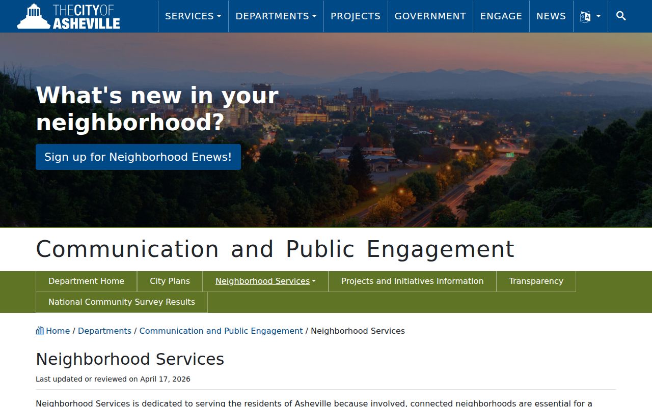
The City resource is a community layer for Asheville neighbors, with voluntary coverage and its own limits.
Check Asheville Neighborhood Plans by Name
The City’s neighborhood plans collection provides additional civic context for many named places. It supports a more careful search when a map or older directory uses a familiar neighborhood name, but a plan is not a property ownership record. Compare its date and scope with the parcel’s legal description and the map year.
Open the neighborhood plans source before relying on a name or planning document.
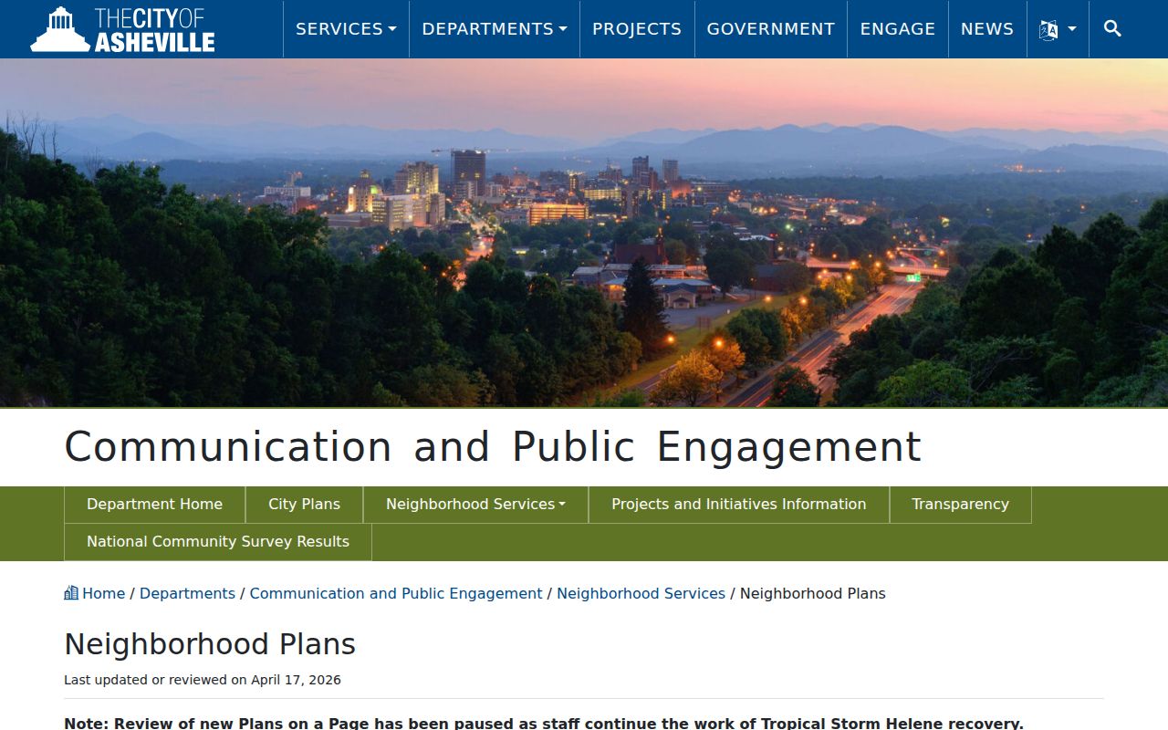
The plans resource gives a named-area layer that should remain distinct from the county parcel map.
UNC Asheville map holdings add boundary changes from 1797 to 1917, annexations from 1997 to 2004, historic plats, tax maps, and Sanborn material. Those dates matter when an old address or community label is compared with the present block.
Find Asheville Neighborhood Civic Contacts
The City’s neighborhood resources and its Neighborhood Advisory Committee are the documented civic-contact channels. They do not publish a universal neighborhood list of residents. Use the public organization contact or meeting information when it is supplied, and do not infer membership from a parcel, a map label, or a mailing address.
| City resource | Useful purpose | Limit |
|---|---|---|
| Neighborhood Services | Registered-organization map, contacts or list links where published, and registration information | Coverage is voluntary and not exhaustive. |
| Neighborhood plans | Named-area planning context | Does not establish current residence or parcel membership. |
| Neighborhood Advisory Committee | Civic participation information | Not a resident directory. |
View the Neighborhood Advisory Committee source for current City civic-participation details.
The advisory resource adds a public civic channel without turning local participation into an individual address record.
Keep Asheville Neighbors Voter Context Limited
North Carolina’s public voter search uses first and last name, with optional middle initial, birth year, and county fields. It does not provide an Asheville block map search. A result may show registration status, jurisdictions, polling place, and voter history, while history records participation and method rather than candidate choices. Current public registration files are updated weekly and omit date of birth, Social Security information, driver-license information, and protected Address Confidentiality Program data.
For a block, precinct and district layers are the appropriate geographic context. A Buncombe County registration download may have address and precinct fields under the applicable rules, but it should not be used to create or publish an unnecessary block roster. The Board of Elections is at 35 Woodfin Street, Asheville, and lists 828-250-6262 and elections@buncombenc.gov for file or precinct questions.
Add Asheville Neighbor Permit Context
The City permit lookup can add a dated property clue around a block without identifying a household. It searches by Address or Parcel Information and can show current or completed development records. Preserve permit number or type, application, issue, and completion dates, parcel or address, project description, inspection status, and the separate applicant or contractor role when each field appears. This is context for a structure or project, not evidence about who is presently at the location.
Much pre-2019 City permit material may remain paper or not digitized. For that gap, contact Development Services at 161 South Charlotte Street, use PAC at 828-259-5846 or PAC@AshevilleNC.gov, or make a focused City public-record request that names the address or parcel, record type, and date range. The City Clerk and the responsible department can route an existing record request under Chapter 132; neither is required to create a new block report.
Choose Official Asheville Neighbor Records
Official records and compiled commercial neighbor tools are different categories. The first preserves the custodian, source date, field meaning, and statutory restrictions. The second may combine older or mismatched material and often cannot show its source date or role label. For a block question, the official route is easier to verify and less likely to turn a lead into an unsupported claim.
| Official record route | Commercial compiled-record category |
|---|---|
| Links back to BuncoMap, a deed, a City permit, or a City community resource. | May combine sources without showing the custodian or date. |
| Keeps owner, mailing, situs, and directory roles distinct. | Can blur an address result into a person claim. |
| Includes public-record and confidentiality limits. | May not make exclusions or corrections clear. |
Use an official link to verify a result and retain only the minimum information needed for the specific personal question.
Protect Asheville Neighbors Privacy
Asheville neighbors records have firm limits. North Carolina’s Address Confidentiality Program provides a substitute address and mail-forwarding structure for qualifying survivors, while voter law protects qualifying address information and other sensitive fields. A tax mailing field does not show current residence. A GIS point is not a license to identify, monitor, or publish a household. Sealed, redacted, or unavailable information should remain that way.
Lawful personal use. Use block and neighborhood information for legitimate personal research, civic context, or family history. Do not use it to stalk, harass, intimidate, or harm any person.
Note: When an address needs an answer beyond public map context, ask the appropriate custodian for an existing record and its lawful access route.