
Asheville Previous Residents by Era
One Asheville address can produce several record trails. A present parcel entry is useful for identifying a current parcel and its deed reference, but it does not settle every earlier address or household. Move backward from a recorded instrument, then use directories, maps, census records, newspapers, and cemetery research to test who may have been associated with the address at a particular time. Each source has a different purpose and a different access route.
| Source | Years It Covers | Where Held | What It Shows |
|---|---|---|---|
| Real-estate deed collection | County collection described as reaching as early as the 1700s | Buncombe Register of Deeds | Recorded instruments, party roles, book and page, legal descriptions, and prior references |
| Inspected CRP book or page index | Displayed 1995-01-01 through 2026-03-03 in the inspected index | Register of Deeds online search | Online navigation for an inspected index, not a universal historical cutoff |
| Asheville city directories | Verified examples from 1883-84 through 1961, with gaps not resolved | DigitalNC and Pack NC Room | Printed names, addresses, householders or street-guide clues, and period notations |
| Sanborn and related historic maps | Sanborn filming noted periodically from 1885 to 1950 | Pack, UNC Asheville, Digital collections, and Library of Congress resources | Structure, materials, street context, and land-use clues |
| Federal census and newspapers | Census release and newspaper-run coverage vary by series | National Archives and State Archives guides | Historical household snapshots and identified newspaper holdings |
Permit records can add another dated address clue. The City permit portal searches by Address or Parcel Information, but the City says much pre-2019 permit material remains paper and detailed requests should use the Clerk or public-record process. A permit applicant, mailing contact, recorded party, tax recipient, and directory householder are separate roles. Label each one with its source date.
Start at Asheville's Current Parcel
Begin the previous residents trail with the county parcel record, not with an assumed old street number. BuncoMap can search by PINN, street name, or owner name and can navigate to deed and plat context. A PINN or PINNUM is a county parcel identifier, not a street number. It can change after a split, recombination, or other parcel maintenance, while a legal description or a familiar street form may carry the historical link more reliably.
The county's GIS material is compiled from deeds, plats, and public records for taxation and public inquiry. It may contain errors or omissions and is not survey-grade. Read the recorded deed or plat as the primary legal source. If the visible parcel information is not enough, Buncombe Land Records provides research, deceased-owner, property-split, and old tax-map request routes. The office lists a Land Records phone line, assessor contact, and in-person location in Asheville.
For the address trail, keep a separate line for the situs address, tax mailing address, directory address, permit address, and legal description. A mailing address does not establish where a person lived. A GIS point does not establish a legal boundary.
Note: A parcel split can change an identifier, so compare plats, recombination lines, and deed descriptions before carrying a name backward.
Follow Buncombe Deed References Backward
Recorded deeds supply the backbone for prior ownership research in Asheville. Search the party index, review the instrument type, recording date, book and page, party roles, legal description, PIN or PINN where indexed, consideration or excise-tax information where shown, liens or restrictions, and any prior deed reference. The current recorded instrument usually points to the earlier one. Follow that reference, then repeat the same review for the earlier transfer.
- Use the parcel record and current recorded deed to capture the legal description, deed book and page, and prior-instrument reference.
- In the Register of Deeds index, find the current acquisition and identify the recorded party who transferred the interest.
- Search that party as a grantee for the earlier acquisition, then compare the legal description and plat references.
- Repeat backward, checking for split or combination events that can change a parcel identifier or street form.
- When the online index does not reach the needed book, use the Register of Deeds public search room, a Land Records request, or State Archives microfilm and county-record resources.
- Grantor
- The party recorded as transferring an interest in an instrument.
- Grantee
- The party recorded as receiving an interest in an instrument.
- Chain of title
- The sequence of recorded transfers and references used to follow an interest backward through time.
- Legal description
- The lot, block, subdivision, metes-and-bounds, or other recorded land description. It is more stable than an old street number.
The distinction between collection age and online coverage matters. The Register of Deeds describes its real-estate holdings as reaching as early as the 1700s, but the inspected CRP index displayed a 1995 through 2026 range. The research did not establish one universal online cutoff for every book or image series. For older work, use the public search room at 205 College Street, call or request help through the county routes, and consult the State Archives rather than assuming an online no-result ends the chain.
Asheville Previous Residents in Directories
Directories answer a different question from deeds: who was printed at an address in a given publication year. The 1948-49 Asheville directory is especially helpful because its alphabetical material and householders or street-guide sections can link a person or household with a number, telephone conventions, and printed ownership or household notation. It is evidence of a directory listing, not proof of title or a complete account of everyone at the address.
Read both directions. An alphabetical entry can lead from name to address. A Householders, Street Guide, Street and Avenue Guide, or Numerical Telephone section can lead from address to a listed household or business. No separately titled complete Asheville criss-cross series was located in the inspected official sources. The street-oriented sections in Hill, Piedmont, and Polk material are the documented substitute.
The collections, publishers, and ways to read a printed entry are covered in the Asheville city directory resource. Keep the printed spelling, initials, occupation wording, spouse or household notation, and page number. A disappeared listing can reflect a move, omission, spelling difference, or a change in the book's coverage.
Pair Asheville Directories and Census Records
For past residents, a directory year and a federal census year should be treated as complementary snapshots. The directory can narrow the likely address or household between censuses. The census can record a household as enumerated, with the period's relationship, age or range, birthplace, and other printed information. Neither source should be used to infer a current household or to erase historical classification limits.
- Choose a directory year close to the address event and copy the entry and scan page exactly.
- Check the closest publicly released federal census, preserving the enumeration district, page or image, and the address form when shown.
- Compare names, initials, household members, and street wording without silently normalizing a mismatch.
- Use an adjacent directory, newspaper notice, obituary, or cemetery result to test a move, death, or family relationship.
The National Archives describes the 72-year public-release rule. The 1950 census was released in 2022, and the 1960 census is due in 2032. Census absence can reflect an enumeration error, spelling, transient address, geographic change, or a missing schedule. State the source and date rather than turning an absence into a conclusion.
Asheville Maps Explain Old Addresses
Sanborn maps put a building back in its street context. Pack's house-history guidance says Asheville Sanborn maps were filmed periodically from 1885 through 1950. UNC Asheville lists holdings that include Asheville 1917, and Pack, Digital collections, and the Library of Congress can add 1891, 1912, and later map leads. These maps can show structures, materials, uses, streets, and topographic context. They do not identify who lived inside or prove title.
Historic street work needs restraint. The reviewed research did not find an official citywide historical renumbering date. Old street names, route extensions, annexation, and changing directory coverage can produce a false parcel match. Compare the original directory street guide, the correct map edition, the deed legal description, annexation maps, and the current address layer. Do not convert a nineteenth-century number to a modern one without evidence.
UNC Asheville's map holdings also cover boundary changes from 1797 to 1917 and annexations from 1997 to 2004. That local map story explains why an older source may use an Asheville-area place name that does not match a current municipal boundary.
Riverside Checks for Asheville Past Residents
For a former resident who may have died locally, the City of Asheville's Riverside Cemetery research information provides a useful cross-check. Riverside was founded in 1885. The current City page lists genealogy research and tours by appointment, along with the location, contact information, and current visiting information. A cemetery result can support a spelling, burial date, inscription, or family lead, then send the search back to an obituary, estate record, or directory.
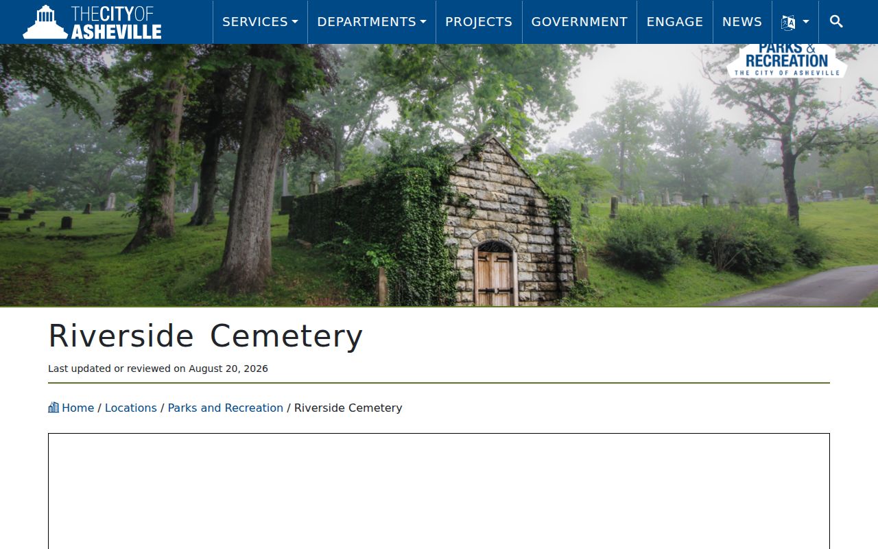
Riverside is a research endpoint or cross-check, not a substitute for a deed or address record. A burial location does not prove a person's legal residence, property interest, birthplace, or cause of death.
Riverside GIS Clues for Asheville Residents
The City's Riverside Cemetery GIS project described a digitization effort linking names and burial dates with inscriptions and marker photographs. Its older source documents reach into the 1800s, but the 2012 project account says the initial effort was incomplete. Treat the project as a bridge between a name and an image or inscription, not as a complete cemetery or residence database.
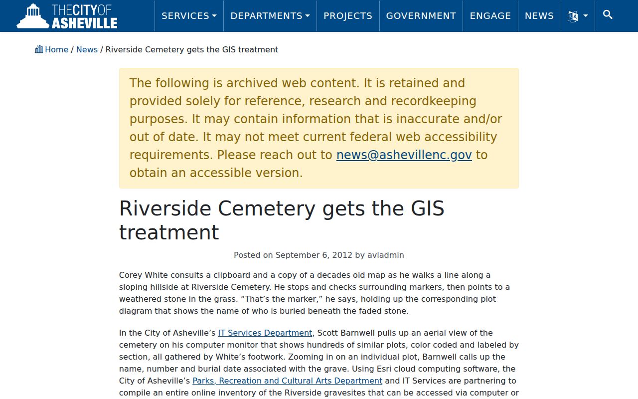
The image-supported data model can help distinguish a spelling or date before checking an obituary, estate reference, or historical directory. It should never be used to infer a living person's address.
Note: The City has published differing aggregate cemetery figures in sources from different dates, so retain the source date rather than presenting one total as permanent.
Buncombe's 1865 Missing Records
The January 1865 destruction of the Buncombe courthouse explains a common early-record problem. A probate, civil, estate, or court item cited by a later deed or family record may have burned, been reconstructed, been moved to another series, or survive only in a State Archives copy. A negative search should be limited to the surviving or indexed series actually inspected.
Follow later deeds, wills, marriage bonds, newspaper notices, estate references, and private papers. Use the State Archives Buncombe County wills resource and the county box lists as appropriate. For events before Buncombe formed in 1791, confirm whether a predecessor-county record is the relevant jurisdiction.
Use Asheville Address History Carefully
Previous residents research is best used for family history, estate or heir questions, historical preservation, and personal property curiosity. Keep only the information necessary for the question, retain the source and date beside each finding, and avoid combining protected data or exposing a vulnerable person's location. North Carolina's public-record rules also leave some court, vital, and protected address information unavailable or redacted.
Lawful personal research. Do not use an old address trail to stalk, harass, surveil, or harm anyone. A public document or historical listing is not permission to pursue a living person.
When a current record is needed, verify it with the custodian that holds it. Older paper permits may require the City public-record process, while older deeds may require the Register of Deeds search room or State Archives route. That careful handoff preserves the difference between a property history and a claim about a person.