
Asheville ZIP Code Directory Crosswalk
The official North Carolina Department of Revenue city, county, and five-digit ZIP list identifies eleven Asheville and Buncombe entries. It is a tax and jurisdiction crosswalk, not a USPS declaration that every delivery address in one code lies inside Asheville city limits. The area descriptions below retain that distinction, and the entries with unverified delivery classifications remain deliberately uncertain.
| ZIP | Areas Covered | Post Office | Notes |
|---|---|---|---|
| 28801 | Central and downtown Asheville association | Downtown Asheville, 33 Coxe Avenue | Confirm each street with USPS; a ZIP is not a city-limit polygon. |
| 28802 | Asheville and Buncombe association | Not located in the official USPS capture | Current delivery type was not independently confirmed. |
| 28803 | Southern and eastern Asheville, plus nearby delivery geography | Biltmore, 780 Hendersonville Road Suite 7 | Not a legal Asheville boundary. |
| 28804 | Northern Asheville and nearby delivery geography | Grace, 725 Merrimon Avenue | Confirm the exact street and ZIP with USPS. |
| 28805 | Eastern Asheville and nearby association | Not located in the official USPS capture | Use live USPS lookup for facility and delivery details. |
| 28806 | West Asheville and west or northwest delivery geography | West Asheville, 1302 Patton Avenue | Postal coverage can extend beyond city limits. |
| 28810 | Asheville and Buncombe association | Asheville or Candler-area listing, 591 Brevard Road | Confirm delivery city and facility live. |
| 28813 | Asheville and Buncombe association | Not located in the official USPS capture | Current type and area were not extracted. |
| 28814 | Asheville and Buncombe association | Not located in the official USPS capture | Current type and area were not extracted. |
| 28815 | Asheville and Buncombe association | Not located in the official USPS capture | Current type and area were not extracted. |
| 28816 | Asheville and Buncombe association | Not located in the official USPS capture | Current type and area were not extracted. |
The NCDOR crosswalk is the source for this inventory. Use its current version rather than a copied third-party list.
Check Asheville ZIP Codes With USPS
The USPS ZIP Code Lookup has three distinct modes: By Address, By City and State, and Cities by ZIP. By Address accepts optional company and apartment or suite fields, plus required street address, city, and state, with ZIP optional. The result can standardize a delivery address. USPS warns that this does not confirm that a person or company is at that address.
| USPS mode | Useful input | What the result does not establish |
|---|---|---|
| By Address | Street, city, state, and optional unit | Who is associated with the address. |
| By City and State | City and state | A complete set of legal municipal boundaries. |
| Cities by ZIP | Five-digit ZIP | Whether a code is delivery, unique, or another category without reviewing the live result. |
Open the USPS lookup source before assigning a postal code to an address.
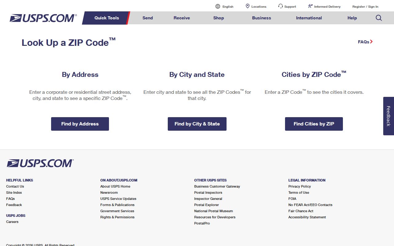
The screenshot reflects the official lookup modes that should be used for a current delivery question, not for identifying a resident.
Eleven Asheville ZIP Code Entries
The Asheville ZIP code directory has a useful numerical boundary: the NCDOR crosswalk names exactly eleven Asheville or Buncombe entries, from 28801 through the listed 28816 entries. That count is an inventory of crosswalk rows, not a count of delivery districts, neighborhoods, or city services. It is especially important for 28802 and 28813 through 28816, where the inspected official material did not produce a current USPS classification. A live Cities by ZIP or By Address result is more accurate than labeling them from a static directory.
Note: NCDOR establishes the documented city-county association here, while USPS controls delivery-address behavior.
Find Asheville Postal Facilities
The USPS location finder searches by city and state or ZIP, with street address, city, ZIP, and state controls. It can filter Post Offices, National Retailers, Collection Boxes, Contract Postal Units, Self-Service Kiosks, gopost locations, and Village Post Offices, then sort results. Its function is locating a postal facility, not finding people.
Official examples in the research include Downtown Asheville, West Asheville, Grace, Biltmore, and the Asheville or Candler-area listing at 591 Brevard Road. The facility finder result is the source for present hours because those change and should not be copied from an older page.
Use the USPS location finder to verify a current facility.
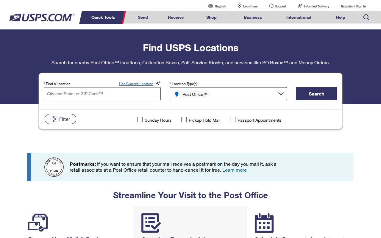
The facility search complements the address lookup by showing postal service locations without treating them as neighborhood or resident records.
Map Asheville ZIP Code Context
BuncoMap has ZIP Code and Incorporated Areas layers, and the county open-data service exposes both alongside property, address, street-centerline, precinct, district, and zoning layers. Begin with a parcel or address when a question is property-specific, then turn on the ZIP and incorporated-area layers for context. The advanced property report includes PINN or PINNUM, subdivision or neighborhood, city, sale-price or date, vacant-lot, non-qualified-sale, and deed or plat controls.
The research did not locate a direct ZIP-equals field in Tax Lookup or the GIS text capture. Do not promise a ZIP-wide assessor filter. NCSBE’s public voter lookup also does not use ZIP as a primary search field. County registration data may include address and precinct fields, but it must be handled under the state’s public-file rules and privacy limits.
Once a postal area narrows a question to a road or property, use the Asheville street directory for the address-keyed parcel and deed trail.
Separate Asheville ZIP Codes From City Limits
A ZIP can cross city, township, or county lines. An Asheville mailing city can describe an address outside legal Asheville, and a city-limit parcel can carry postal wording that varies. Compare the USPS delivery result with BuncoMap’s ZIP Code and Incorporated Areas layers. A visual overlay helps explain geography but does not decide a legal boundary.
- ZIP versus ZIP+4
- A five-digit delivery area versus the extra digits USPS uses to refine delivery routing within it.
- PO Box ZIP
- A postal code associated with box service. The research did not verify that classification for the uncertain Asheville codes.
- Unique ZIP
- A code used for a specific organization or delivery arrangement; it should be confirmed through USPS before it is labeled.
- Carrier route
- A USPS delivery-routing unit. It is not a neighborhood, parcel, or political district.
Census ZCTA geography is not the same as USPS ZIP delivery geography or Asheville’s legal boundary. The inspected material did not extract precise city-limit and ZCTA overlap geometry.
Keep Asheville Postal Geography Separate
A postal address, parcel, precinct, and neighborhood are different systems. BuncoMap can supply parcel and incorporated-area context; precinct layers supply election geography; the City’s registered-neighborhood resources supply voluntary civic organization context. None follows automatically from a ZIP. A postal result should never be used by itself to assign a voter precinct, establish a property boundary, or claim community membership.
For historic research, retain the original printed address beside a current standardized address, with the map or directory year that supports each. Asheville and Buncombe geography changed through boundary and annexation history, and a historical mailing label may have a wider meaning than its present counterpart.
Date Asheville ZIP Code Research
Older city directories and maps are evidence of their own dates, not of the current postal system. Pack Library resources, DigitalNC scans, and UNC Asheville map holdings can preserve an old street form or area label. Compare the printed address with the directory year, a period map, deed legal description, and the current USPS result. Asheville’s first verified 1883-84 directory warned that unnamed streets and homes away from streets could make exact location difficult, so a missing modern match may reflect the source rather than a missing person.
Do not silently replace an older address with a modern postal form. Retain unit information, directional prefixes or suffixes, route designations, and any PO Box indicator. USPS standardization helps delivery, but it does not establish historic geography, property title, a present neighborhood, or a person’s location.
Use an Asheville ZIP Code Search Carefully
A ZIP is a good starting filter for delivery and map context, but it is not a people index. The most reliable workflow verifies the address first, identifies the relevant record custodian, and carries the source date forward. This avoids creating a false connection from a postal code alone.
- Enter the complete address into the USPS By Address mode and save the standardized result.
- Compare the result with BuncoMap ZIP Code and Incorporated Areas layers.
- Use PINN, street, or owner fields only when a parcel record is needed.
- For voter questions, use the authorized name or county file route and respect protected fields.
- Check historic directories and dated maps separately when the address is old.
Postal validation, parcel research, and election records each have different custodians. A request under North Carolina Public Records Act, Chapter 132, should name the existing record series, date range, and address or parcel identifier, rather than ask an agency to create a ZIP list of residents.
Set Asheville ZIP Code Directory Limits
The Asheville ZIP code directory is for postal and geographic reference. USPS says an address result does not confirm who is at the address. County GIS is not survey-grade, and a NCDOR crosswalk is not a delivery classification table. Protect address-sensitive information, keep a source date with current results, and treat uncertainty as a reason to confirm with the responsible office.
Lawful personal use. Use postal and map results for legitimate personal research and civic context. Do not use address information to stalk, harass, intimidate, or harm anyone.